HAB Team Alumnus Peers at Earth Remotely from Above
Where Are They Now? – Ryan Theurer
By Rachel Erickson & Lee Cannon
From a beginning as a computer programming student in community college, to launching weather balloons with complex payloads as part of an NC Space Grant-funded high-altitude ballooning (HAB) team, to now working on NOAA satellite data projects, Ryan Theurer has proven himself to be a rising star in the STEM field.
Originally from Reston, Virginia, Theurer was living in Portland, Maine, when his brother, who was enrolled in a nursing course at the University of North Carolina at Chapel Hill, encouraged Theurer to move to North Carolina for opportunities to advance his education. Theurer started off taking courses at Durham Technical Community College, where he discovered an interest in computer programming.
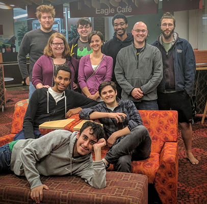
Early in his time at Durham Tech, Theurer took a class with Julie Hoover, who was then a geology instructor, plus the faculty advisor and passionate leader of the NASA Swarmathon team and the high-altitude ballooning team, The Unacceptable Risks – both of which NC Space Grant has supported. He heard about the Swarmathon competition team from Hoover and how it allowed people with interests in robotics, engineering and programming a chance to work together on small robots and compete in the yearly NASA-hosted Swarmathon.
Intrigued, Theurer attended an interest meeting, where he met other team members and also learned about The Unacceptable Risks and was hooked. High-altitude ballooning would allow him to program the payloads the team would send soaring into the atmosphere, to the very edge of space. He switched to the high-altitude ballooning team immediately.
“I was trying to throw myself into hands-on experience as much as I could,” Theurer says. “My advice to other students is to try clubs and real-life experiences like that.”
Theurer’s time with The Unacceptable Risks provided him an introduction to being part of a technical project. It helped him develop project skills and showed him how a team can work together to achieve something. Also, the diversity of backgrounds on the team opened his eyes to the different STEM opportunities available and the fact that he truly could aim for a space science career.
The support given to these HAB teams helps student team members conduct flight experiments and participate in the annual High-Altitude Ballooning Team Challenge and Competition, hosted by NC Space Grant.
After graduating from Durham Tech in 2016, Theurer pursued an information science degree at the University of North Carolina at Chapel Hill. With his major, Theurer studied how to handle and manipulate large amounts of data.
Building off his experience as programming lead for the HAB team, Theurer advanced in his programming studies. He also remained active with the HAB team at Durham Tech and, when the team qualified for the more advance competition High-Altitude Student Platform (HASP) at Columbia Scientific Balloon Facility (CSBF), Theurer got the chance to spend a spring and summer working on a more intricate and challenging project, then travel with the team to Marshall to launch, giving him exposure to NASA engineers and the NASA design process.
His experience with programming at Durham Tech gave him insight into the real world applications of what his major in information science at UNC-Chapel Hill could lead to in the future. Gaining useful skills from both his education and club involvement gave him the confidence to apply for and receive an internship with the NASA DEVELOP National Program.
At such an early point in his academic experience, Theurer already showed how important NC Space Grant’s support can be at the beginning of a student’s budding space science career.
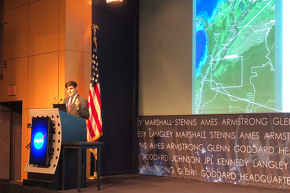
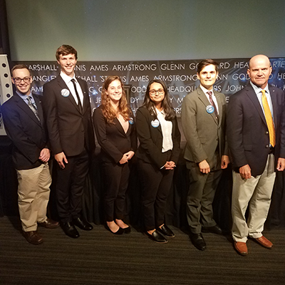
As part of his internship with NASA DEVELOP at NASA Langley Research Center (LARC), Theurer and his team partnered with the Institute of Hydrology, Meteorology and Environmental Sciences (IDEAM), part of the government of Colombia, South America. IDEAM’s purpose is to design programs to control unsustainable land use in Colombia. At the time, Caquetá, a region of Colombia that encompasses a wide swath of Amazonian rainforest, was seeing the country’s highest rate of deforestation due to recent political changes and the expansion of crop farming, cattle ranching and illegal mining into the Amazon.
Working as the Colombia Ecological Forecasting Project Lead at NASA Langley, Theurer and his team used NASA’s Open Data Cube to conduct their research. NASA’s Open Data Cube is a program that packages satellite data with machine learning algorithms, so researchers can run analyses to study problems around the world. In Colombia, IDEAM used NASA’s Open Data Cube to help the military track and prevent illegal deforestation.
In August 2018, Theurer and his team found that the program increased the accuracy of identifying deforestation by roughly 25%, reaching about 85% accuracy. These results showed hope for Colombia’s goal in reaching zero net deforestation by 2020.
Since finishing his NASA DEVELOP internship and graduating from UNC Chapel Hill, Theurer was recognized by the National Space Grant Foundation at its 30th anniversary celebration. In a testimonial video, Theurer says that his work on NC Space Grant-funded research projects gave him the confidence and experience to apply for the NASA internship he received.
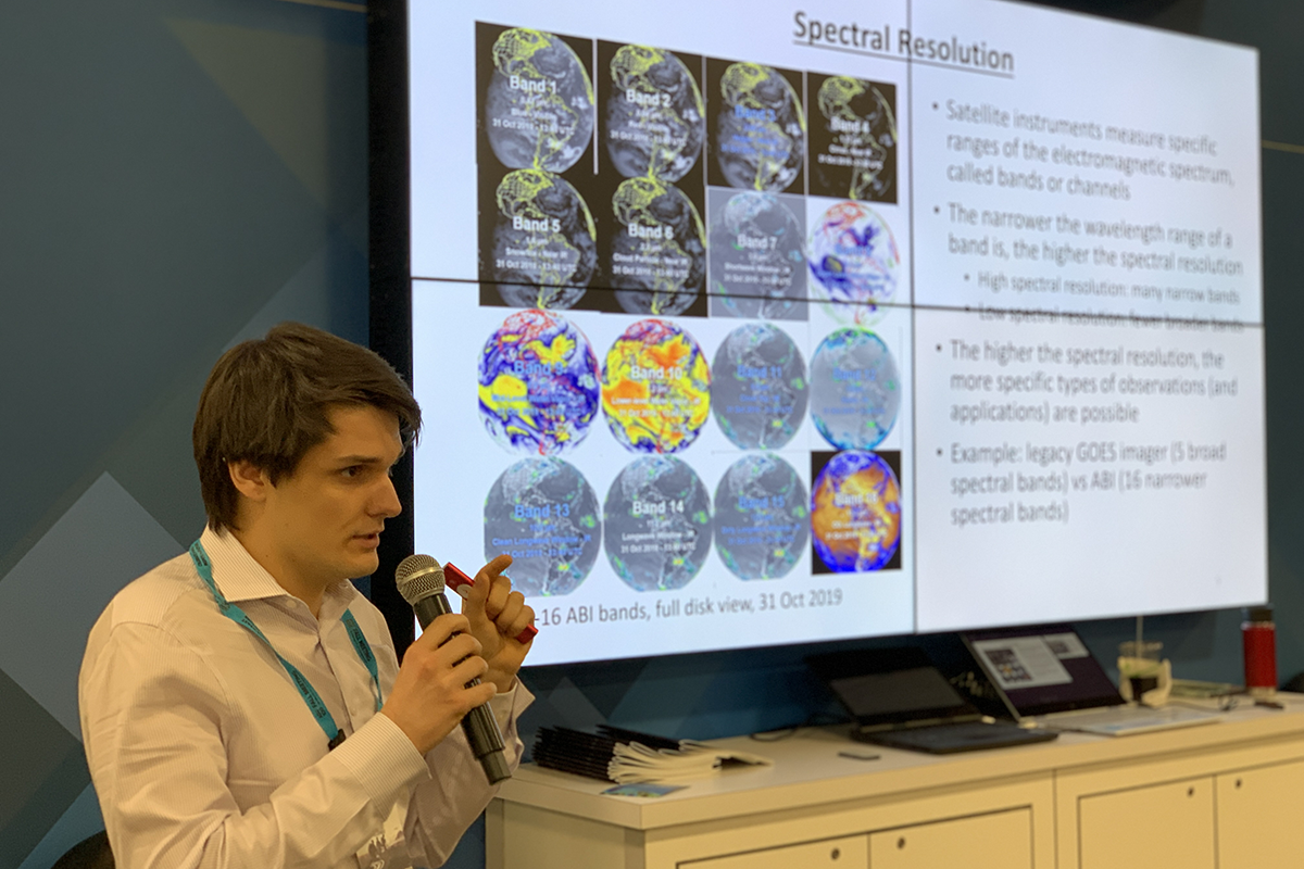
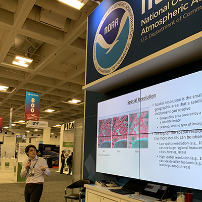
Because of his combined coursework, experience working on NASA High Altitude Student Platform, and internship research using satellite data with NASA DEVELOP, Theurer landed an ideal job. He was hired as a satellite data visualization programmer at the GVT LLC consulting firm near Washington, D.C., where there is a buffet of contracts for him to work on, both with NOAA and NASA. He landed on a long-term project at NOAA’s Center for Satellite Applications and Research (NOAA STAR). Within the Star Office, he works with the National Environmental Data and Information Service.
Currently, he is working on two main projects. The first is an “Environmental Mapping System” website, which will display a large array of NOAA’s satellite products with data covering the entire globe. The website will also have a dedicated section for showing and cataloging environmental disasters – such as wildfires, mudslides and more – for use by incident meteorologists and the general public.
Theurer’s second project, and a very timely one, is a Python dashboard application that shows aerosol and trace gas pollution over U.S. cities over the past three years. The application allows users to plot this data to show how COVID-19 has affected the production of pollutants across the country.
During his NASA DEVELOP internship, Theurer was, as he describes, “the programming guy on a team of Earth science people.” He gained the valued experience of working on a diverse team, being able to teach his team members Python programming skills, while also learning more about the hard sciences in return.
Now looking ahead, Theurer wants to take his technical background and apply it to either a remote sensing degree or even pursue a doctorate in atmospheric sciences. Having a background in programming while using Earth science applications has given him the upper hand when applying to new opportunities, which all started when he first tried his hand on the HAB team.
Watch Ryan Theurer, along with other members and the advisor of The Unacceptable Risks team, speak about their NC Space Grant experiences in a video the Durham Tech alumni and former instructor created for the National Space Grant Program’s 30th anniversary celebration.