NC Space Symposium Features NC Research that Explores Earth From Space
The NC Space Symposium brings together researchers across the state to share about important topics. The event is on March 22, 2024, at the McKimmon Center on NC State University’s campus in Raleigh, NC.
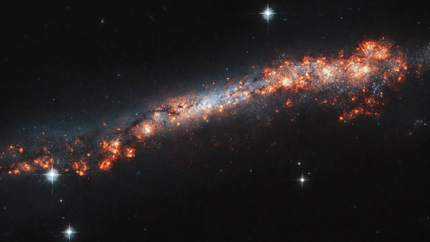
This year’s North Carolina Space Symposium features exciting talks from NC researchers whose work explores Earth from space. The speakers’ research ranges from monitoring the climate to mapping floods and measuring water elevation.
They will participate in the “NASA Earth Science in North Carolina” session. Speakers include Douglas Rao, research scientist at NC Institute for Climate Studies; Leila Hashemi Beni, associate professor of remote sensing and GIS at NC Agricultural and Technical State University; and Tamlin Pavelsky, professor of global hydrology at UNC Chapel Hill and hydrology science lead for NASA’s Surface Water and Ocean Topography (SWOT) mission.
The session will be moderated by Kathryn Caruso, NC center lead at NASA DEVELOP National Program, NOAA National Centers for Environmental Information.
Meet the Speakers
Douglas Rao
Research Scientist at NC Institute for Climate Studies
Rao’s research examines long-term satellite data records for climate monitoring. His current projects explore how to combine climate data from different sources to better understand global temperature change over the past 40 years at local and regional scales.
Rao notes that historically, ground temperature data collection is unevenly distributed across the globe as there are large gaps in data collection in some areas, such as in Africa and Asia. Studying climate from space, his research utilizes satellite observations to more accurately understand local temperature changes and climate.
“Satellite observations allow you to collect data multiple times a day,” he says. “That gives you a really good opportunity to provide information globally and evenly.”
Rao also works as a science communicator to raise awareness and provide education regarding climate topics. He works to help people and communities understand the science behind climate and climate issues and how research and data can help solve those issues.
“Climate issues touch every aspect of our life and every sector of society,” he said. “Learning about climate can be beneficial for anyone, no matter what their career trajectory may be – if you’re becoming a scientist or going into business and industry, all careers now need to prepare for a changing climate and understand how environmental data can help them do that.”
Students looking to learn more about climate and data science can get involved with citizen science projects or complete NASA training, like the Applied Remote Sensing Training Program, he says. Rao also suggests students look into Climatematch Academy, a nonprofit organization he is involved with, which hosts a virtual summer school for students to learn how to use computational tools for climate sciences with real-world climate data from NASA, NOAA and other organizations.
The nation’s transition to open science practices will result in more data becoming publicly available, so Rao works to educate people from all age ranges on how to use, understand, and make the most of environmental data.
Leila Hashemi Beni
Associate Professor of Remote Sensing and GIS at NC Agricultural and Technical State University
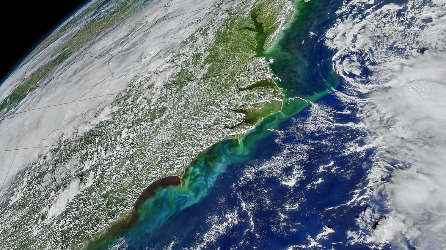
Hashemi Beni’s research uses data science and remote sensing to quickly and precisely detect and map flooded areas. This research supports emergency response planning and damage assessment.
“Flooding is one of the important issues in NC and the country that threatens human life and property, especially in densely populated urban areas,” Hashemi Beni shares. “Flood mapping can protect human lives and property by providing timely damage assessments to plan relief work efficiently.”
Hashemi Beni’s research team uses open-source remote sensing and geospatial data and tools to create a comprehensive and detailed knowledge basis of environmental dynamics for rapid changing events, like flooding, and steady progressions, like erosion. In 2023, Hashemi Beni received a $1.5 million grant from NASA to conduct this research.
In an effort to engage students in this important topic, her remote sensing and geospatial lab is often looking for highly motivated graduate and undergraduate research assistants to develop cutting-edge remote sensing methods for different applications.
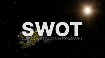
Tamlin Pavelsky
Professor of Global Hydrology at UNC Chapel Hill
Hydrology Science Lead, NASA’s Surface Water and Ocean Topography (SWOT) Mission
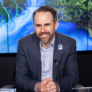
In addition to teaching global hydrology at UNC Chapel Hill, Pavelsky is the hydrology science lead for the NASA SWOT mission. The SWOT mission launched in December 2022 and uses radar technology to measure the elevations of water surfaces in Earth’s rivers, lakes, oceans, and wetlands.
“We depend on water resources stored in lakes and reservoirs, and SWOT can track water levels in these features over time—basically it’s an eye in the sky monitoring all of these water bodies for us,” Pavelsky adds.
Notably, this mission is a first of its kind – it will measure nearly all water on Earth’s surface for the first time.
“SWOT is one of a new set of satellites that will allow completely new ways of measuring the earth system,” he shares. “If you’re interested in understanding how the planet works and how it’s changing (especially around water), then SWOT is a great place to start!”
This mission will provide a better understanding of where water is and how high the surface water is. Pavelsky says this will have direct benefits for water resource management and other occupations and communities.
SWOT has just started releasing data, and more will become available soon. As a result of NASA’s transformation to open science, all data will be open and available to the public.
About the Symposium
NC Space Grant’s signature event brings together and features experts, researchers, and students with the goal of sharing the latest NASA-relevant research. It also celebrates student research and provides an avenue for valuable networking. Oral and poster presentations, lightning talks, and a workshop will showcase a variety of NASA-relevant topics.
In an effort to prepare students with cutting-edge research skills, NC Space Grant is offering a NASA-led Open Science 101 workshop, which will feature NASA’s new Transform to Open Science (TOPS) Open Science 101 curriculum.
For those interested in learning more about open science and these research topics, register to attend the 2024 NC Space Symposium by March 15, 2024.
Update March 13: The workshop is now full, but students can still begin their open science journey with NASA TOPS Open Science 101 curriculum. General registration is still open until March 15.
☽
- Categories: